Charm Bracelet Trail Events’ Eight Stations Ultra.
13/07/2025
From the website;
YOUR JOURNEY…
STARTING IN WHITBY YOU’LL MAKE YOUR WAY DOWN THE ESK VALLEY RAILWAY LINE, BEFORE JOINING THE NORTH YORKSHIRE MOORS RAILWAY LINE, EVENTUALLY FINISHING IN PICKERING. YOU’LL PASS EIGHT RAILWAYS STATIONS.. THE HINT IS IN THE NAME!
MUCH OF THE ROUTE RUNS ALONGSIDE THE RAILWAY, SO YOU MAY SPOT A STEAM TRAIN OR TWO…

I went to this event with Ann, we camped in her van at the village of Compton, near Pickering due to the bus leaving Pickering at 6 am. We were up early for breakfast, but the sun was up earlier than us.


We sat on the sports hall floor, eating and drinking and revising the route between toilet visits.

At last it was time to head to the start, a couple of pics and a chat with Julian the medic, and we set off for the start.


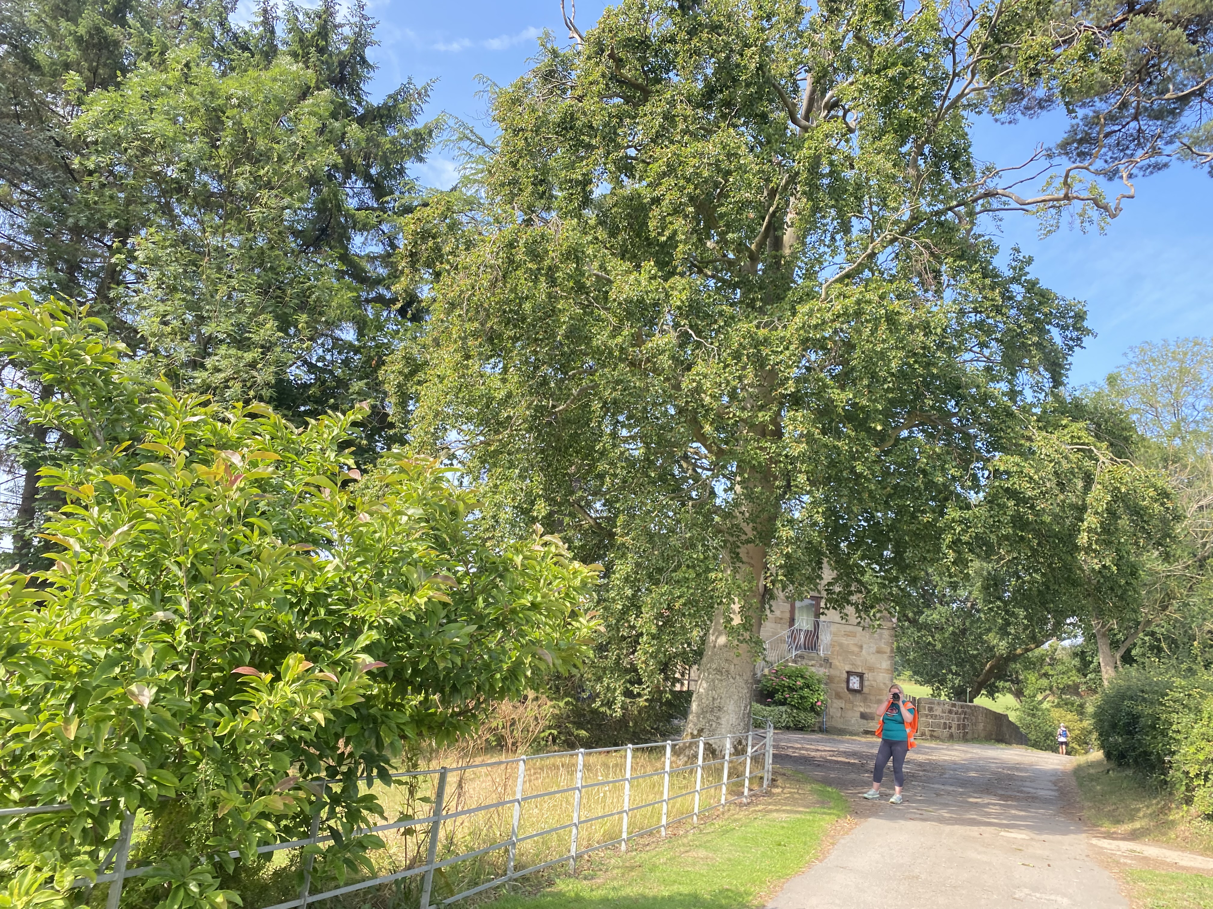
Last glimpse of the abbey.


We arrived on the Cinder Track, I was surprised how crowded it was. We all stepped chatting to listen to the race brief including cattle warnings. That had my nerves on Edge. A sensibly said that there was nothing to worry about before Lewisham Moor, so not to worry about it until then. Wise words.

There were lots of familiar faces and it was lovely to catch up with lisa before and during the race.
We had moved back trough the crowd to avoid being so far forward. its always hard to judge, but I hate feeling like I am holding people up, or running under pressure of people close behind. I like a gap between me and the person in front, my thinking/reaction time.
All to soon we were off, running down the path, at the first turn some people had already made a mistake and were heading back towards us and then pushing through the runners on the narrow pathways to try to make up their lost time/position. I had walked these tracks before when Billy Callum and I stayed in Ruswarp for New Year 2010 so they felt familiar. I think we were a pain for the local dog walkers as they waited for over 200 runners and walkers to pass.

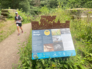
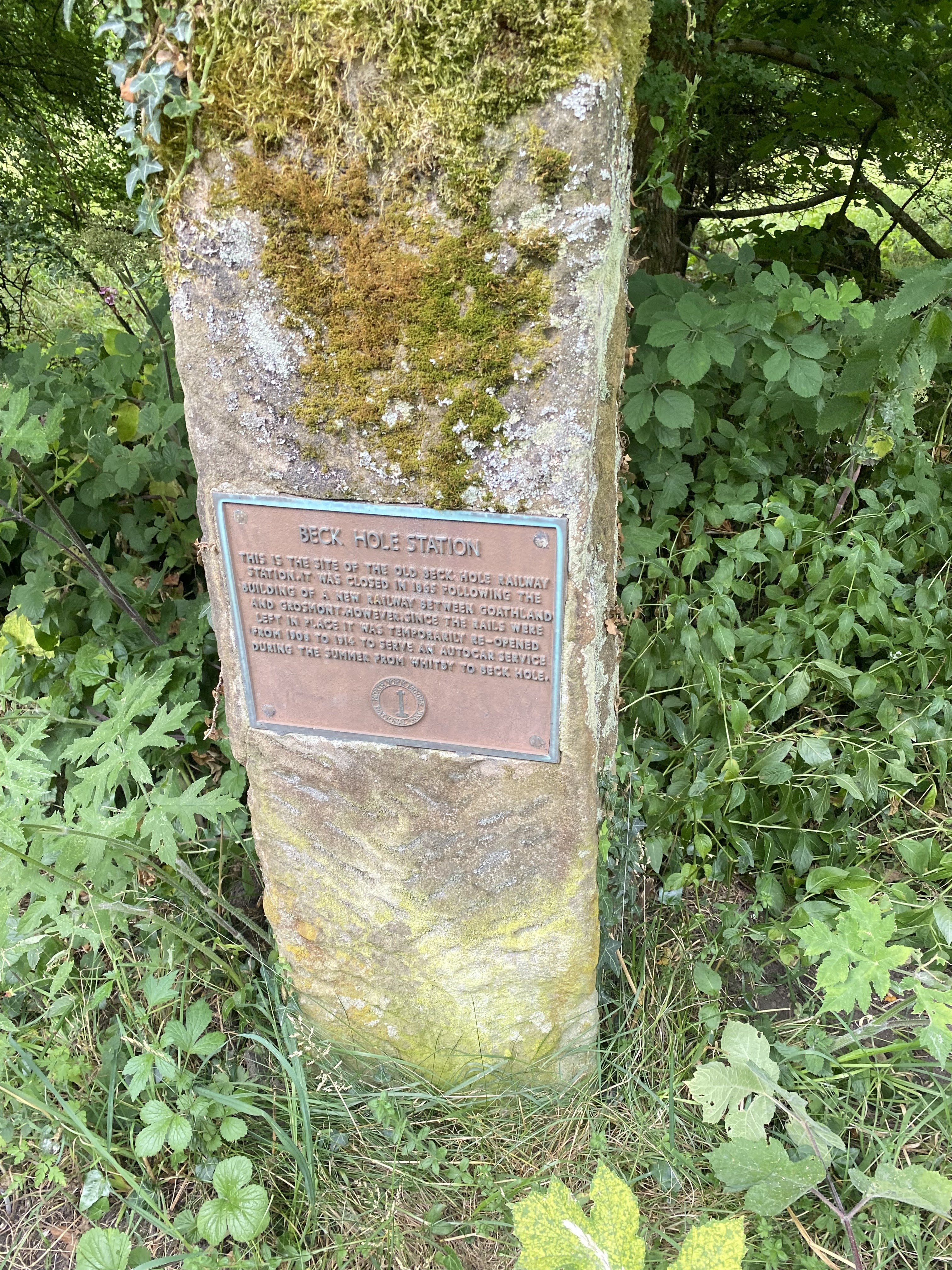
Station 1 Ruswarp

First incline of the day soon followed, a chance to walk in the already rising heat. Great to see Sarah, who had been at registration marshalling the road crossing and taking pictures.


I was starting to recognise sections from the LDWA 100 in 2017.


The brownies were amazing.


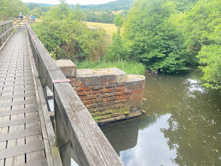
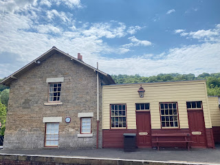
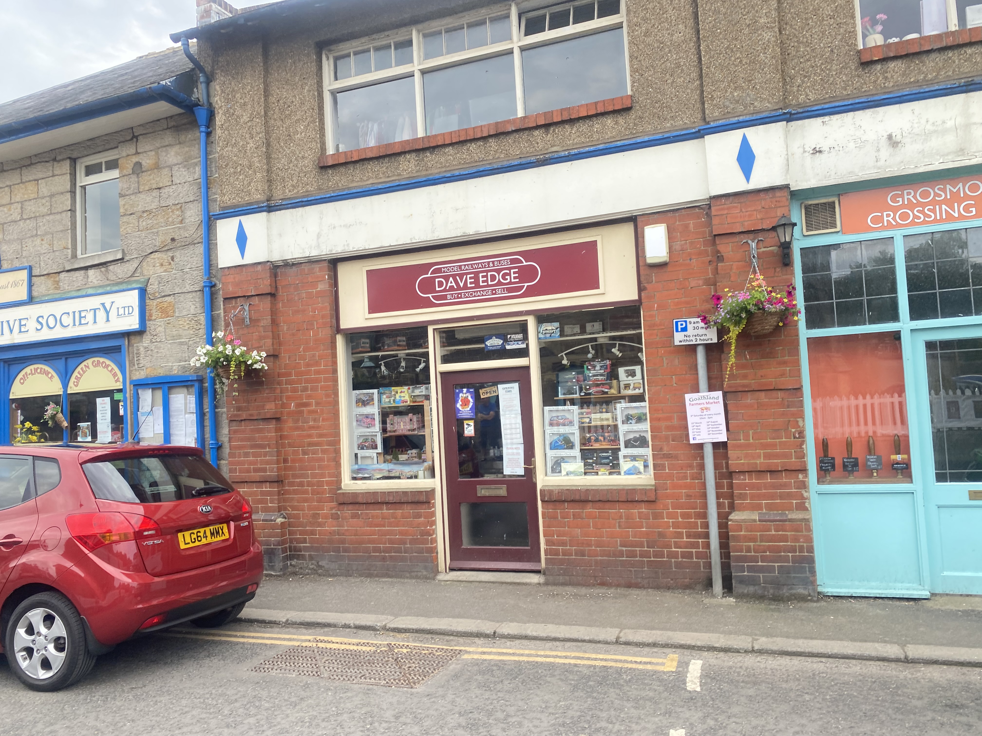
Grosmont Station, station 3.
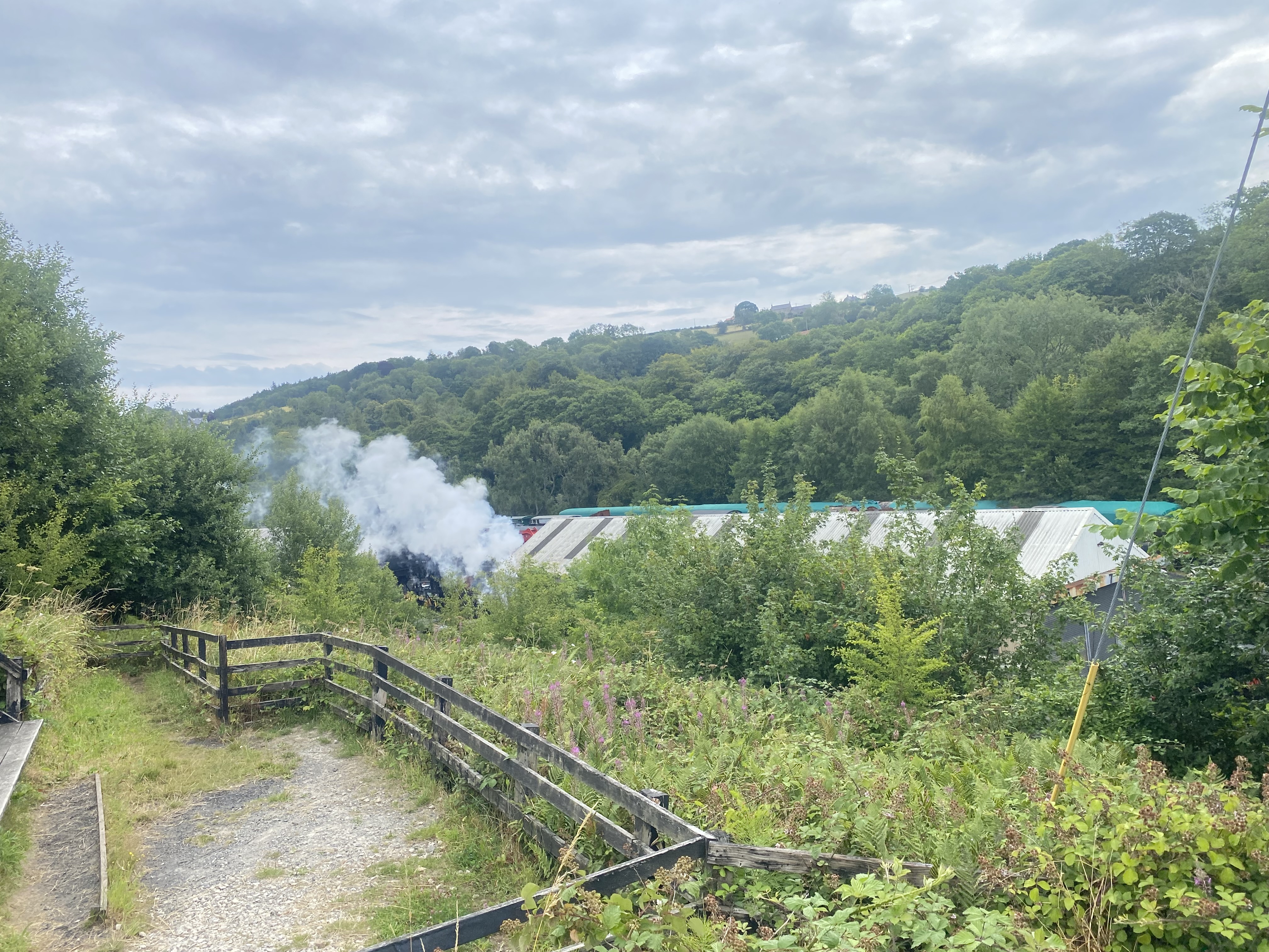
 Was great to see the steam trains.


 A quick phot stop and, ever onwards.


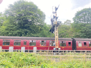 Passengers waved and runners waved back.
 Another engine came the opposite direction.
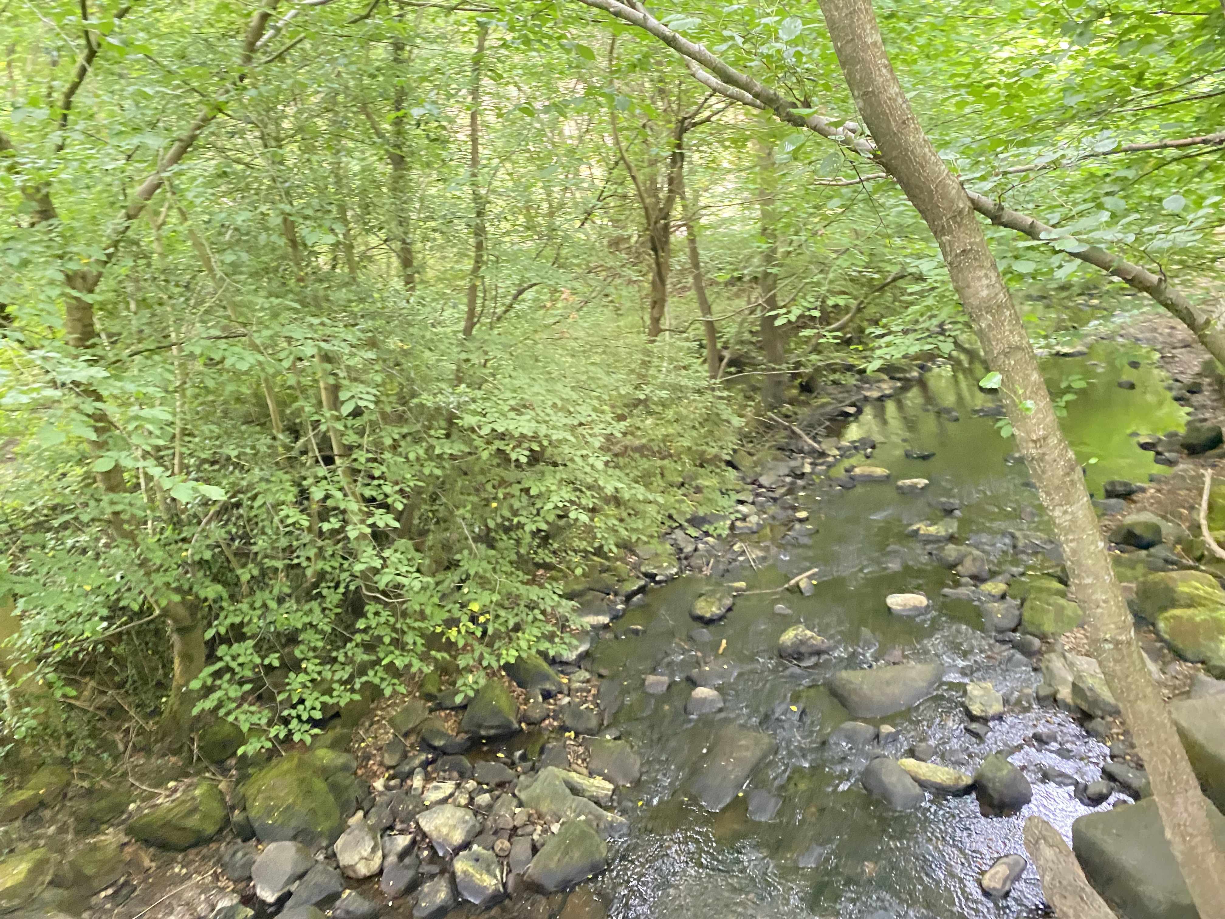
 The path now was good cinder track for quite a few miles.


 Oo! Is this station 4?

 That horse looks like a zebra 😂.


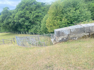
 4 miles later, the final checkpoint, checkpoint 4, came into view, as well as the cattle that were mentioned at race brief.

 \
\


 On leaving the statin, I could hear cattle bellowing and thee was a Bull in field sign on the gate. I. Stuck with Adrian and Janet until we were out of the field, I saw no cattle, phew. It was a right climb up the field.


I stopped to watch the train pass by.


About 10 miles and the start of the longest climb of the day.

Now on reverse of Hardmoors Goathland
route.


Through Goathland village, bypassing the station (station 5?) Still climbing to checkpoint 2, 11 miles. Flapjack was amazing, I dunked my buff and carried on climbing up to Simon Howe. It was approaching midday and the heat was brutal.


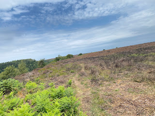
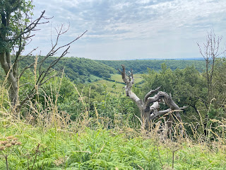
The next section was a long one, moors and forest, but mainly exposed moorland.

Finally the descent, steep and rocky, no making up time here. It was nice to be on the wide track for a short time.

My pictures from Newtondale Halt did not turn out, Staion 6?
This section was followed by a narrow tree roots trail that led to a steep bracken lined ascent which made my heart legs and lungs burn.

Finally the climb to checkpoint 3 overlooking Hole of Horcum. 19 miles completed. It was baking, I was soaked in sweat and my vest was rubbing my back.


I got my heat out and soaked that and my buff, I refilled my bottles a took off my pack for a bit of relief. I set off walking, carrying my race pack and eating. I found the path down into the Hole of Horcum tricky, With loose Rolling Stones. I put my race pack back onto my sore back and jogged and walked onwards.


 \
\A steep descent to the checkpoint wishing the cattle would move away rom the road. I dunked my hat and buff and had some lemonade and set off. There were other runners around.
Thanks to Adrian and Janet for staying close until we were passed the cattle.
One batch done, there was still more to come.


Next stop, Levisham, Station 7?
I made use of the facilities before moving on, just over 10km to go.

The trail now was mainly long bumpy grass, fallen trees and generally hard going, I was walking more and more and the miles passsed so slowly, there was no respite from the heat.


 No wonder my back was sore.


Finally I arrived at Pickering, not too much further to go.


And the last station was coming into view.


But this was not the end, I crossed a bridge and the route took me down a lane under more trees, some so low that I had to bend double. I climbed up out of the trees to a school field, I crossed the field and went down a ginnel and popped out onto the road that I had got the bus from, a lifetime ago.

I could only walk to the end, I was spent, there was nothing left to give.

Shortly after Ann arrived back too, with Dave who she had run with for a lot of the race.


8 hours 4 minutes and 22 seconds.

 No wonder my back was sore.
This was a challenging route made more challenging with the weather.